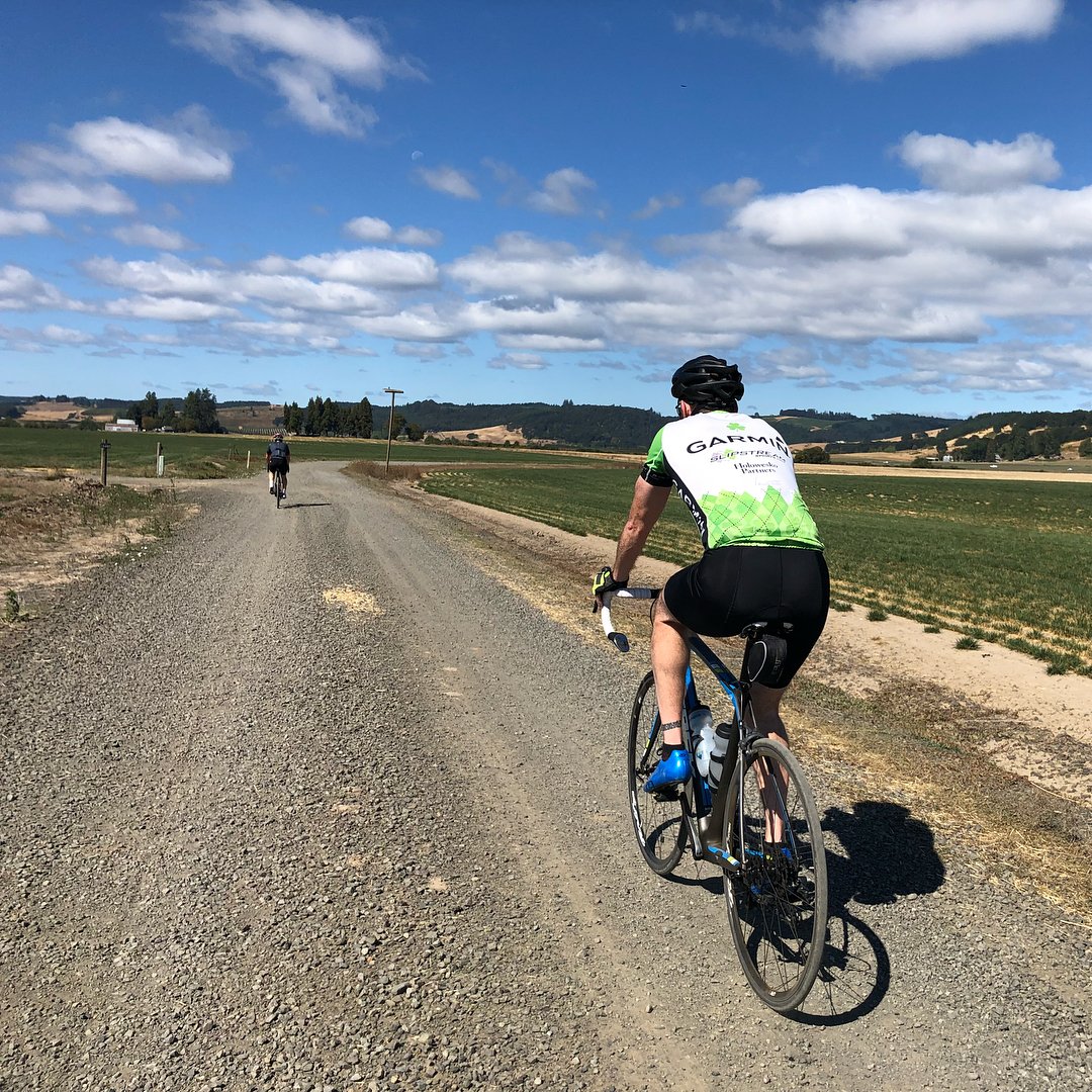
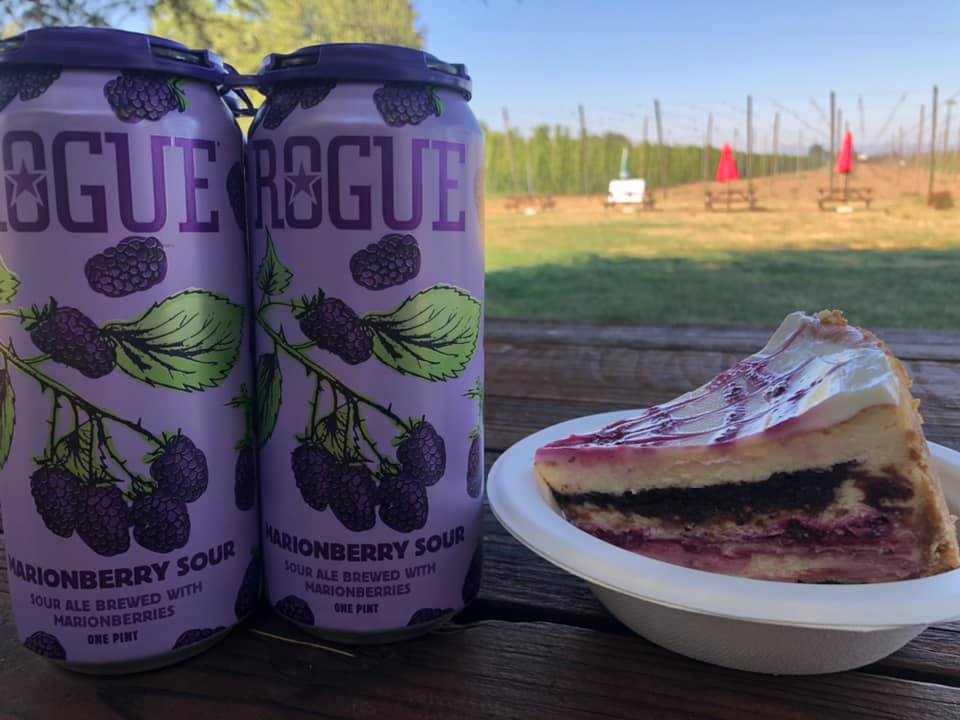
The road is straight and flat, the pavement smooth. Your thoughts drift with the fragrant wafts from a mint field as you ride by. You pass cherry trees, hazelnut trees and lattices of hops reaching toward the sky. Pleasant distractions.

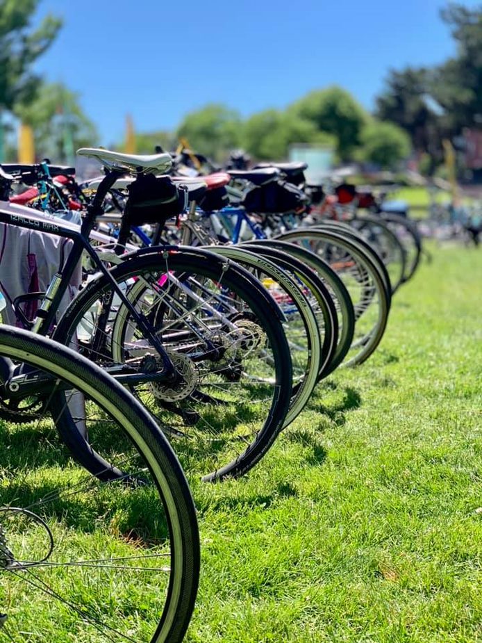
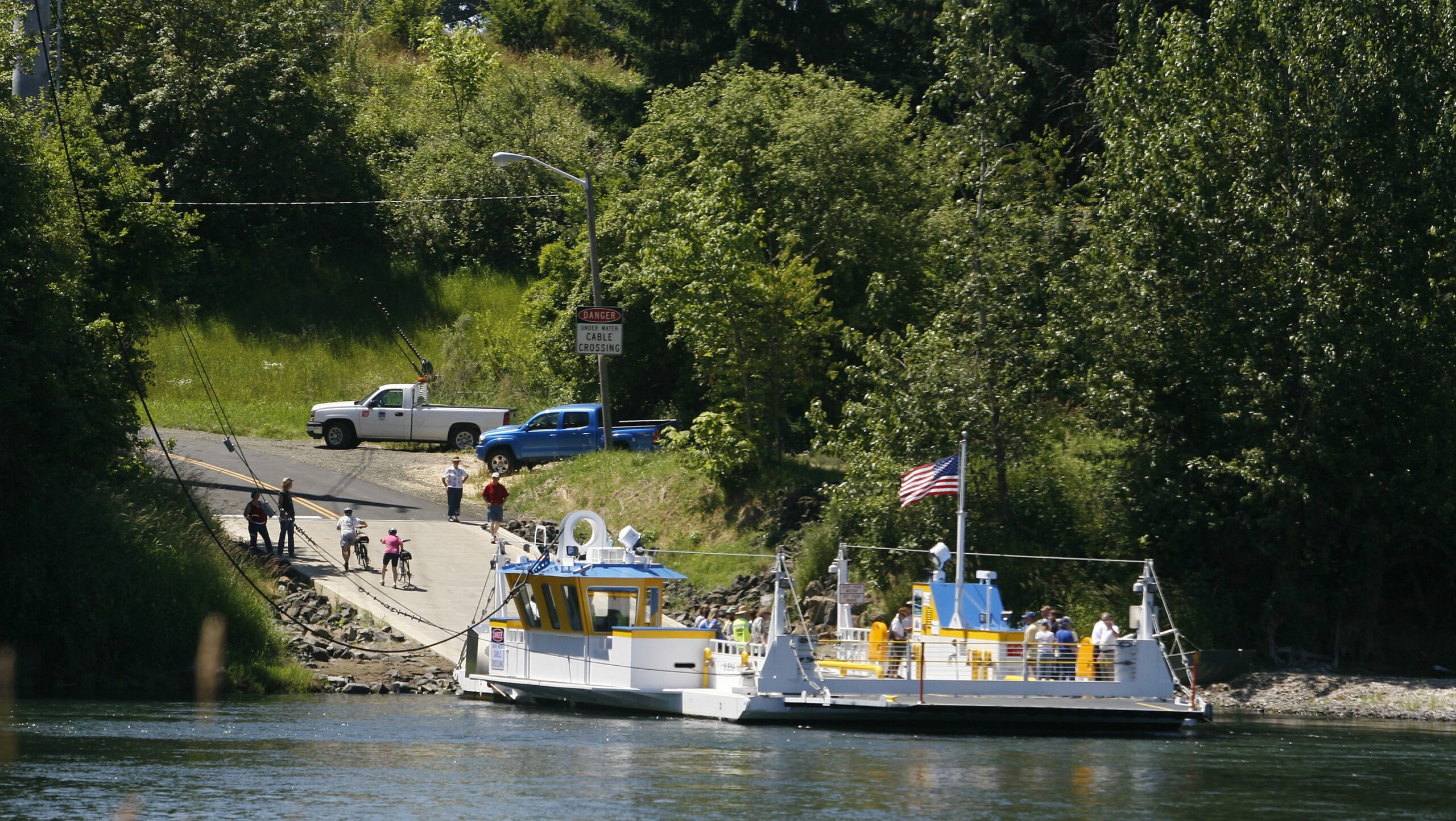
Cycling across the three-county region of Marion, Polk and Yamhill counties is a unique experience. Casual riders find comfortable low-traffic roads, intermediate cyclists can find routes with a few challenges and serious roadies can climb heights. And, no matter the route, there’s much to enjoy from the bicycle saddle.

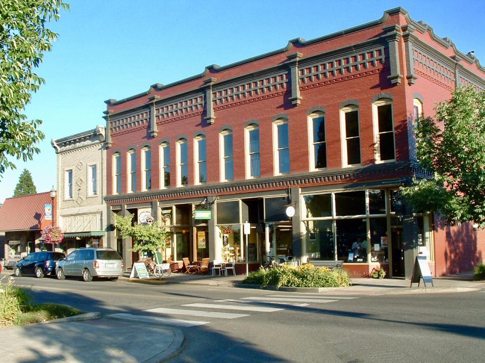
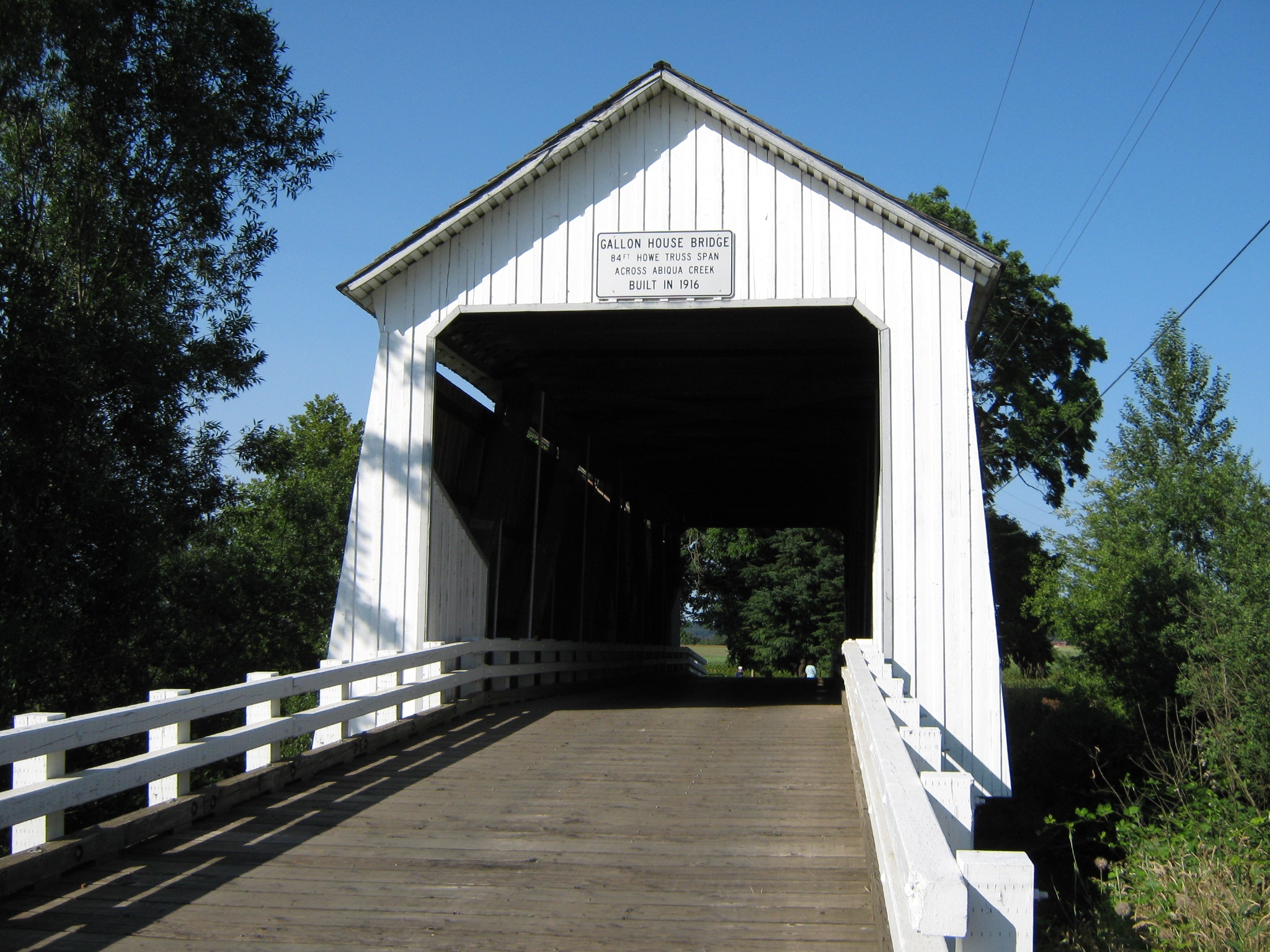
Here are three routes that showcase Oregon’s Mid-Willamette Valley. Remember to wear a helmet, ride single file, use hand signals and cycle defensively at all times.

Easy Ride: McMinnville to Erratic Rock

Scientists say prehistoric glacial floods sent water, sediment and very large rocks rushing through what we now call the Columbia Gorge and the Willamette Valley. One of those rocks erratically found its way to a spot southwest of McMinnville, Oregon. That rock makes a great destination for this popular 17-mile ride from downtown McMinnville.

This route starts on McMinnville’s famous Third Street where there are multiple food and drink choices. Grab some nutrition, water and perhaps a cup of coffee to get yourself started.

A route dips across the Linfield College campus and picks up Baker Street for a quarter mile. It then turns right for an enjoyable and relatively flat ride across the Yamhill County countryside. Once you find the Erratic Rock, take a picture and head back to town.

Looking for a little more challenge? Our map includes a short detour over Youngberg Hill. It will add almost two miles to the ride and a couple of uphill roads that may challenge the inexperienced. Not interested? Retrace your route.

Once you return to McMinnville, choose from every kind of food and drink imaginable. If your meal requires a craft beer, consider McMenamins Hotel OregonGolden Valley Brewery or Grain Station Brew Works.

See the route plus food and drink options using this Ride With GPS map: bit.ly/2VCFb2J

Intermediate Ride: Independence Loop South

This is a Polk County route that can start anywhere you wish. We created a map that begins and ends in the city of Independence, Oregon, but we just as easily could begin at the peaceful Rogue Farms or in pleasant downtown Monmouth, Oregon.

The loop can be split into three parts. There’s a flat stretch between Independence and the river ferry town of Buena Vista, Oregon. Most of the hills appear between Buena Vista and Monmouth. Finally, there is city riding route from Monmouth to Independence.

Anyone looking for something a bit more challenging can pay the $1 ferry toll in Buena Vista and cross the Willamette River to Marion County. Ride a short distance and pick up the Willamette Valley Scenic Bikeway signs for a pretty ride through the Ankeny National Wildlife Refuge, past Ankeny Vineyard and north to the Independence Bridge back to the other side of the river. Check your own map for details.

There’s food and drink no matter where you stop. Downtown Monmouth has many options including Grain Station Brew Works second location on Highway 99 and Rick’s Place coffee shop on Main Street across from the city park. Brew Coffee and Taphouse (Main and C streets) makes a great before-or-after stop in Independence. Then there’s Rogue Farms, where you can find food, Dead Guy Ale and plenty of picnic benches among the hop fields.

See the route plus food and drink options using this Ride With GPS map: bit.ly/2vmd9JY

Challenging Ride: Silver Falls State Park

Here’s the Silver Falls secret: The climbing continues even after you arrive inside the state park.

This is an iconic Marion County bike ride. It’s 34 miles. Twenty-four miles of hard work and 10 miles of pure downhill enjoyment. The loop starts in Coolidge McClaine Park and almost immediately reminds you this is not for the faint of heart. After 12 miles of rolling country roads, the real work begins. Look for the Silver Falls Country Store at the 24-mile marker for ice cream, hot food and cold drinks. Enjoy yourself because it’s all downhill from here.

Back in Silverton, Oregon, after an exhilarating descent, find the Silver Falls Brewery Ale House or The Gallon House for food, drink and patio seating.

See the route plus food and drink options using this Ride With GPS map: bit.ly/2Vtnx0Z